General geography in Bolivia
Twice the size of France, Bolivia holds a very important
diversity of natural areas.
The actual geographical map of the
country has been drawn by different conflicts that opposed Bolivia through time
to its neighbors. Before its present independence, the country suffered at
several times the amputation of parts of its territory, the most important loss
was its access to the sea for the benefit of its Chilean neighbor. This
national frustration continue to be subject to untiring claims from the
government of La Paz.
In the west
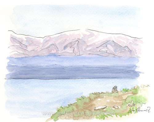
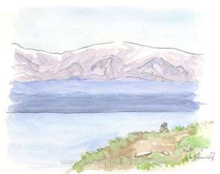
The landscape is drawn by the Andean Cordillera, massive mountain range that crosses the entire South America and takes, in Bolivia, the name of Royal Cordillera. The high lands, called Altiplano, extend at more than 3000 meters height and hold incredible landscapes. The famous Titicaca Lake, majestic, at 3800 meters, peaks often overpassing 6000 meters (as the Sajama, at 6500m), volcanos like Payachata, Uyuni’s and Coipasa’s deserts of salt in the south west…
In the East
By going down from the heights, the south Andean valleys are as far to the Andes as to the Amazon. Present between 500 and 2500 m, there is a humid climate, hot and a luxurious vegetation, where plants such as coffee, Indian corn, wheat and grape. The region in the north of La Paz is called Yungas.Then we arrive to the Oriente, the oriental part that in reality extends on almost all the Bolivian territory (about 70%).
In the North
The Amazon and its tropical forests, humid, hidden under waters during the rainy season. Finally, at the extreme south-east, the Chaco’s land, from Trinidad to the south, vegetation is only savanna, dried bushes and mining and oil resources.


